

TWO OF THE TALLEST MOUNTAINS in New England are Vermont’s Mt. Killington and New Hampshire’s Mt. Washington. I went to both this winter with my uncle and his 13-year-old son.
To our surprise, climbing Killington (elev. 4,229 feet) would be way tougher than Washington (elev. 6,288 feet), despite the latter being 2,000 feet taller and famously having the world’s worst weather (which claimed another hiker’s life in February).
How could that be? Read on!
Uncle Steve and Aidan last winter followed me on a somewhat-grueling and sometimes-scary winter trek into the Northern Presidentials of the White Mountains, and then last summer joined me in a one-day 25-mile traverse of the whole Presidential Range. They still wanted more, which is how we found ourselves staring up at the snow-covered peaks of Killington and Washington in February and March.
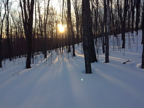
First came Killington, which is mostly known for being a skiers’ retreat. We were staying nearby at a friend’s cabin on Mt. Pico, which we used as a tune-up test-climb of sorts before going for Killington itself. Here’s a photo of my uncle climbing up a steep trail to the summit of Pico at 6am.
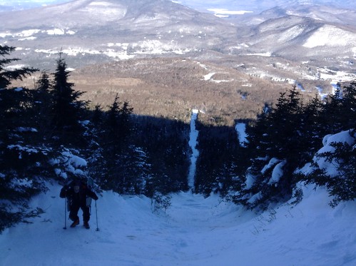
Climbing Pico was especially onerous because I was operating on two hours’ sleep and a belly full of Crown Royal, which had been forced upon me by our devious cabin host. But waking at 6am, partaking in a healthy little vomit, and walking into 0-degree-weather to hike three hours up a mountain and ski down was actually one of the best things for chasing away the hangover demons.
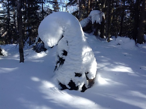
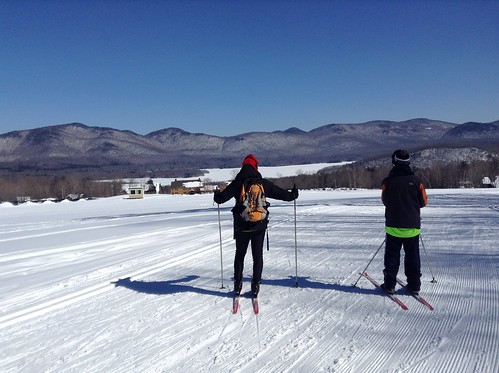
Later that same day, we enjoyed another “tune-up” four-hour snowshoe adventure on the Long Trail, followed the next day by some “warm-up” cross-country skiing at the excellent Mountain Top Nordic Ski & Snowshoe Center in Chittenden.
We rose the third day with a mission to do Killington. By now, Aidan was afflicted with a flu-like sickness from all of our “tuning-up,” so he returned to bed while Uncle Steve and I clopped off in our snowshoes, wearing backpacks that held our snow-blades so that we could speed down from the summit of Killington, if we ever reached it.
I had told Uncle Steve that the hike from Mt. Pico to Mt. Killington would be a simple four-hike hike. Over the next eight hours, there were many times when he was wishing that he’d followed his son’s cue and gone back to bed.
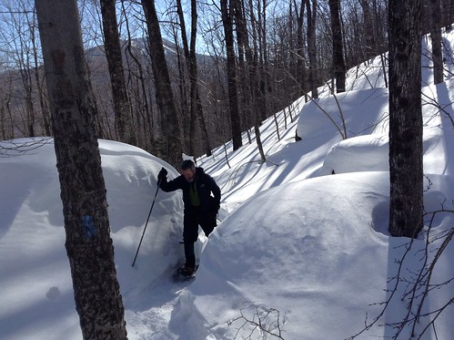
The trek began auspiciously. The entrance to the Appalachian Trail (AT) on Route 4 in Mendon was well-marked and packed-down by previous hikers. About a mile in, we came across a camp site where I saw a bit of litter, what looked like a can of Arizona Iced Tea, so I pulled off the trail to pick up the trash, and it turned out to be an unopened can of beer. And not just any lager, but a tall can of Sip Of Sunshine, an excellent India Pale Ale from the Vermont micro-brewer Lawson’s Finest Liquids.
It was like reaching the pot of gold at the end of the rainbow.
Or the lost Ark of the Covenant.
It was a reward for being a steward of the environment, proof that karma does exist!
I slipped the frozen can of beer into my backpack.
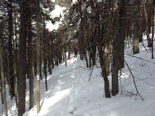
Then the real trek began. The firmly packed trail ended and we began pushing through four-feet-deep snow along a path that was poorly marked by white blazes that disappeared in the snow.
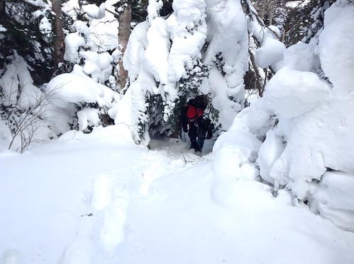
“What the hell?” Uncle Steve muttered, straining his eyes to search for the next white blaze.
Soon, we were wandering aimlessly through the Green Mountains, unsure where we’d lost the trail and clueless to where we might find it. Through a clearing in the trees we could see the summit of Killington several miles away.
“I guess we just want to go in that direction,” I said.
“Right,” said Uncle Steve. He took out his phone and called Aidan to let him know we were fine but we might be a bit late coming home.
We took several steps forward, looking hard to find the next white blaze and wondering if we were acting foolishly in not simply turning back the way we’d come. After all, in that terrain who knows what rivers and ravines you might encounter.
I stopped and asked Uncle Steve for his smartphone to check our GPS coordinates. In a way, I considered this “cheating.” Real hikers don’t use GPS, just like real men don’t eat quiche and women don’t fart. But suddenly the situation seemed to call for emergency measures.

Surprisingly, we had three bars of service (even though we only had one bar for much of the drive from Connecticut to Vermont). Miraculously, the map not only showed our exact location in the woods, but also gave us a sense of where we needed to go to reconnect with the Appalachian Trail. I held out the phone and an arrow appeared on the screen, pointing us to where we’d intersect with the trail.
“I guess, like, we just want to go in that direction,” I said.
“Right,” said Uncle Steve.
Not long after, Uncle Steve spotted the first white blaze that we’d seen in hours.
Not long after, we spotted skiers zooming down the groomed trails of Mt. Killington.
Several hours later, we began the final ascent to the summit from Cooper Lodge, a shelter just below the peak. I scrambled to the top and found a couple high schoolers who had taken a ski lift there, and then I waited for Uncle Steve. And waited. I walked back to look for him and found him on all fours, crawling up the icy path and muttering, “What the hell?”
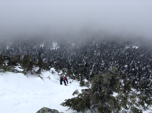
The high schoolers took a photo of us in front of the summit’s cloud-surrounded cell phone towers, then led us down to the ski resort’s “Summit Lodge,” where we stole some hot water to make hot chocolate. The beer had yet to thaw out. We enjoyed a 20-minute ski to the bottom of the mountain, then hitch-hiked back to the cabin where Aidan was twiddling his thumbs.
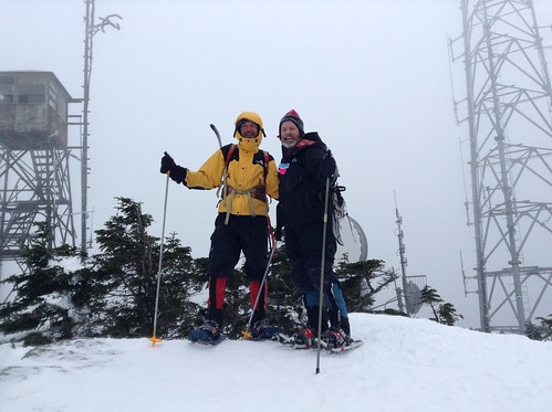
Killington had nearly killed Uncle Steve.
SEVERAL WEEKS LATER we were looking up at Mt. Washington, tallest mountain in the northeast.
Uncle Steve and Aidan were prepared for the worst, the worst being something like our five-hour trek through deep snow and up steep trails last winter to reach Gray Knob Cabin just below Mt. Adams. So both of them were almost giddy when in two hours we arrived to Harvard Cabin, a little-known relic of the Harvard Mountaineering Club, having barely broken a sweat.
 I was a bit surprised as well. My last winter trek here was two years earlier, which had been a much more perilous journey: I stupidly took a side-trail, fell chest-deep into a snow-covered river, and had no idea where I was because my ancient 1983 map failed to show the Harvard Cabin. When my friend Jeff and I finally found our way there — after doubling back and asking directions from a 5-year-old and her father — the hut’s caretaker Rich Palatino rolled his eyes at us and drawled: “At whaaat point … did yoooooou decide to get off … the grooooooooomed trail?”
This time, we arrived so fresh to Harvard Cabin that we dropped our gear and hiked a mile further to Huntington Ravine, caught sight of a few ice climbers, and then whipped out our skiboards/snowblades and skied back down to the cabin like it was ’99 (1999 being the year of the snowblade at US ski resorts).
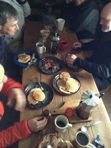
Back at Harvard Cabin, there to greet us were the hut’s famous caretakers, Rich and his wife Marcia Steger. Somehow they live together all winter in that two-room log cabin, eating meals alongside everyone at a communal table on the first-level floor, and then sleeping alongside everyone upstairs in the attic-like bunk-room. And they don’t seem to want to be anywhere else in the world. That night, Marcia cooked an amazing-looking candlelit dinner for she and Rich — yes, real candles flickered between their plates! — that made our instant soup seem meager.
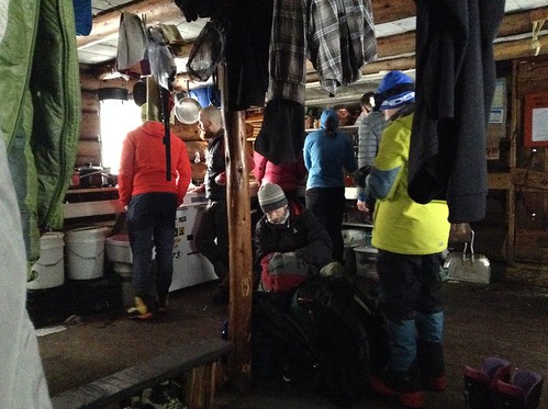
In the morning, as we pulled on our snow pants and gators, Rich asked my uncle if we would be hiking or climbing that day.
“Climbing,” he responded.
Rich asked where.
“To the summit of Washington,” he said.
Rich rolled his eyes. “Okay,” he drolled, “so you’re aaaaaaactually hiiiiiiking.”
Rich loves to mock hikers who are ill-versed in the language of mountaineering. He even contemptuously referred to the rustic nearby town of North Conway as “the valley,” though North Conway itself is a haven for rock-climbers and outdoor enthusiasts. But for Rich, that’s bushleague.
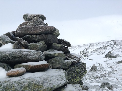
The forecast called for a 60 percent chance of snow and white-out conditions starting at 1pm, so we hit the trail early-ish. By 8am we were climbing — yes Rich, climbing! — the steep Lion Head Trail. At treeline the wind picked up and the clouds settled in as we passed above Tuckerman Ravine. Visibility was soon less than 20 feet. By the time we reached the summit, the prominent weather observatory towers — often noticeable from miles away — could only be glimpsed during momentary breaks in the clouds.

We reached the summit minutes before a five-person group guided by Paul McCoy of the International Mountain Climbing School (IMCS) in North Conway. We got to talking, and Paul said he was also a first-responder to emergencies on the range, so I asked if he’d been part of the recent rescue effort for a New York woman who froze to death during a solo-trek here in February (the story was featured in the Boston Globe, New York Post, New York Daily News, and Bloomberg Businessweek). Paul wasn’t part of that rescue, but he recalled the weather that day — temperatures of 30 degrees below zero and wind gusts of 140 mph — which forced him to cancel his own guided trip into the mountain.
“Everyone was warned to stay off Washington that day,” he said, making it sound like it was suicide to be there.
The adventure writer Steve Fagin (who introduced me to the Whites two years ago) would say after the accident that he “never would venture solo in such unforgiving conditions. It’s also difficult to comprehend how someone could have acted so rashly by putting not only her own life in danger but the lives of those who valiantly tried to rescue her,” he wrote in a column.
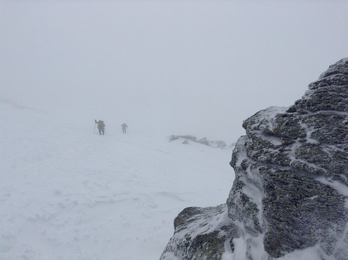
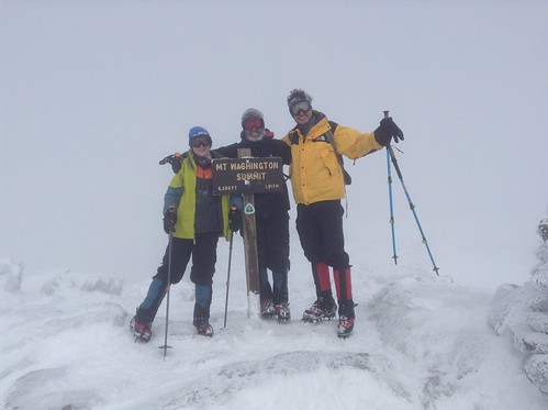
Perhaps unsurprisingly, all that death talk put us in an apprehensive mood. Despite briefly entertaining the idea of a longer hike to the Lakes of the Clouds Hut, we agreed to return the same path before the forewarned blizzard could hit.
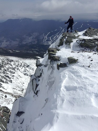

But back down toward treeline, the sun emerged and it was clear that the weather would be better than what had been forecast. We took a side-jaunt on the Alpine Garden Trail over to the top of Huntington Ravine, where we could hear ice climbers below us, creeping up the corners of the ravine. We trekked back over to Lion Head, descended to Harvard Cabin for a snack, grabbed the skiboards, and hiked two miles over to Tuckerman Ravine for some Spring skiing.

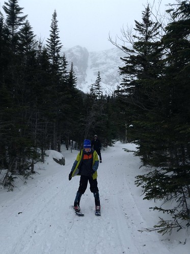
Tuckerman Ravine can get packed with thousands of skiers in springtime, although we’d only seen a few skiers hiking to the top of the bowl that day. By now it was about 5pm and everyone had hiked out, and it was somewhat eerie to be all alone in that avalanche-prone ravine. We hiked up a few hundred feet, buckled on our blades, and skied out of the bowl, down the Little Headwall Trail, and along most of the two-mile-long John Sherburne Ski Trail, before trekking back to Harvard Cabin for a second night.

The following morning we packed out and hiked as far as we could to Tuckerman Ravine, which now had a “considerable” avalanche danger (up two grades of severity from the previous day) because of overnight snow and wind from that promised blizzard. High winds had also blown all the powder off the trails, turning them into hard-packed ice-like slopes nearly impossible to ski with our dull snowblades and while also carrying 35-pound packs.
Slowly, we slid down the windswept trail to our car in the parking lot at the base of Washington. Beats walking.
 SO THAT WAS WASHINGTON. But really, that was all just a tune-up and a warm-up for the next adventure.
In conclusion: Mt. Killington had been blanketed in deep snow, and the lonely six-mile trek to the summit via the untraveled (and often unmarked!) Appalachian Trail had about 3,000 feet net elevation gain. Meanwhile on Mt. Washington, the hike from Harvard Cabin to the summit was also about 3,000 feet elevation gain, but over trails that were well-packed, well-marked, and well-traversed by fellow winter-hikers.
THE LESSON: Sip Of Sunshine is an excellent IPA.

Pingback: Mt. Mansfield (the elusive) | Stevie Kurczy
Great trip report. One point of clarification….
I don’t “mock” hikers. I just show them how much I “care” and they “take” it. That is the care-taker relationship. In all honesty, I keep track of users staying the cabin, so the differentiation is needed in case folks don’t return. The distinction between climbing vs hiking lets the caretaker know where people are venturing in case we have empty sleeping bags later in the day.
Thanks for including the Harvard Cabin in your trip planning. FYI, 6-year old Sienna just spent a couple of more nights in the cabin this past week. Time to get back up the hill. See you soon.
Haha, thanks for clarifying, Rich! Amid all the friendly razzing (and maybe because of it) we did enjoy our stay at Harvard Cabin. We actually tried to return earlier this month, but you were totally booked (even for all the tent sites) so we instead stayed at Hermit Lake. See you next year, hopefully!